


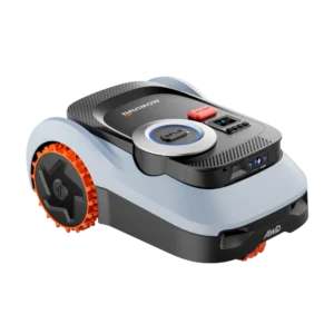
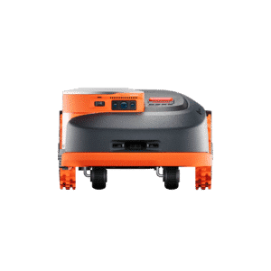





EFLS™ LiDAR+ Al triple fusion system (LiDAR + Network RTK + Vision) ensures perfect navigation, even under trees, in narrow paths, at night, or across open areas.
GeoSketch™ full-color interactive map in the app lets you view and adjust mowing zones with lifelike detail.
Terrain Adapt studies elevation and optimizes mowing paths on slopes up to 45% (24°).
Detects objects down to 0.4 in and recognizes 200+ types, from toys and swings to moving animals.
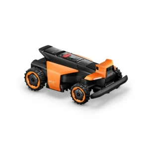
No wires, no antenna. Just press start and H2 auto-maps your yard.
Network RTK included at no extra cost




Reviews
There are no reviews yet.